|
| Exploring in the French Alps |
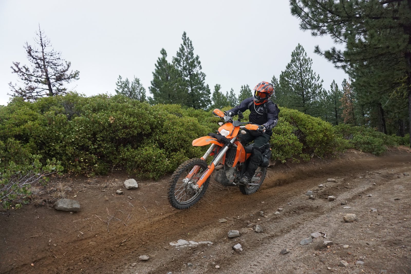
One of the great joys of a winter is plotting or planning your spring and summer trips and expeditions. If however you are trying to navigate a set of complex routes and tracks it can also be one of the most time consuming and frustrating processes.
Over the years I have used various GPS devices including the Garmin Zumo 660 which is designed for motorcycle road use. Whilst the old Zumo was great for getting from a-to-b on roads, as soon as you ventured off the tarmac, it was basically redundant. Additionally iPhone streamed maps, either using Apple/Google or Motion GPX programs, whilst cheap, have severe limitations especially when things go wrong and mobile service drops.
 |
| The Montana directly mounted onto a Lynx fairing on a KTM690 |
Step in the Garmin Montana 680T. For a few years the more adventurous globetrotting motorcyclists have been using Montana variants, the 680T is the latest, best and clearest of the Garmin "handhelds" .
When sourcing the new Montana, Garmin themselves were quite keen to direct me towards the new Zumo range but for my requirements, they just don't cut it off-raod. Whilst the Zumo's sometimes do have some trails and track features on the basic mapping programs and the ability to add routes, tracks from Basecamp it's complex and very hard to make sense of a landscape without a set of contours and features found on recreational maps, which have landscape and contoured features.
If you are inclined to wanting to head into the back-country the Montana 680T has proven itself to be amazingly useful and accurate, even when using the European recreational standard map which does lack some of the fine detail an OS or similar would have.
Often for my trips I am plotting trails or finding routes on Google earth, then creating a KMZ file from Google Earth and then via Basecamp trying to get them into a GPS. With the 680T this has proven to be remarkably easy. Plot the trail in Google Earth, drag it into Basecap and then drop it straight into the Montana. No need to modify the format, navigate horrible menus and search complex folders in the device when you are in the field.
Everything appears in the Montana's Track manager menu which by way of a nifty screen setting can sit on the opening screen of the 680T. Navigating a track is simply a matter of then following the trail/line though the landscape using the Recreational Map of Europe V4. For walking and trail running and MTB use when you are moving quite slowly you can zoom into accuracy down to a 50m screen view. For Enduro use 50m passses quucikly so I prefered the 80m and 120m screen view.
Whilst the RecMApV4 lacked some of the trails it's easy whilst on a track to swipe over a landscape to find features which help place you in the landscape. For really detailed work you can also download into the GPS, using the BridsEye feature a satellite image of the area. For a big trip the "real" images do take up a lot of memory so are not so practical, but for a 20-50mile complex trail or a mountain navigational exercise, this is really useful. Switching between a satellite image and the RecMaps is done through the "map information" icon/menu which once again can be added to your home or startup page.
For successful mixed navigation on the Motorcycle (in Europe) you really need to use two map sources
CN Europe NT 2016 (or USA)
and the
Recreational Map of Europe V4
The CN (City Navigator) is the road navigational program/map which you need to get from home to the trailheads and the RecV4 maps to then follow your imported Tracks. Tracks do show up in the CN road map so you can Pin mark the start of an imported track and navigate to the start of a Track/Trail and then switch to the RecV4 when you head into the wild. It is a shame that the two systems don't overlay, but it's best to think of them as two different programs which don't overlay. The imported "tracks" do however remain visible on both map/operating systems, a useful and highly necessary feature.
As a hand held although a little on the large side when GeoCaching with the kids or navigation off a misty mountain top the Montana is super accurate, down to about 5m, unthinkable just a few years ago. I am still in the first month of using the Montana, but I have to say it saved our recent trip to Sardinia where there are so many overlapping track and 4x4 tracks without it we would have wasted hours searching for the correct track.
It like any tool is a little complex to start with but the menu is more intuitive than previous GPS's I have used and adding in coordinates which on some devices is super slow, the Montana is easy and a breath of fresh air, if in the past you have struggled fumbling through complex menus and multiple button pressings, the new Montana eliminates that pain, and is actually something you want to use actively rather than something complex and clunky which you only revert to as a last resort.
Pros
Brilliant interface between Basecamp/GoogleEarth/Montana
Accurate and easy to follow imported tracks
Good Menu and features
In field Nav good and amazing with Bridseye images
City Nav road maps and Recreation V4 maps work well and quickly
Good screen size (even for motorcycle use)
Lockable bike mount
Cons
City Nav and Rec V4 maps do not interact
Buttons sometimes don't work when wearing gloves
 |
| Remote Sardinian Trail |